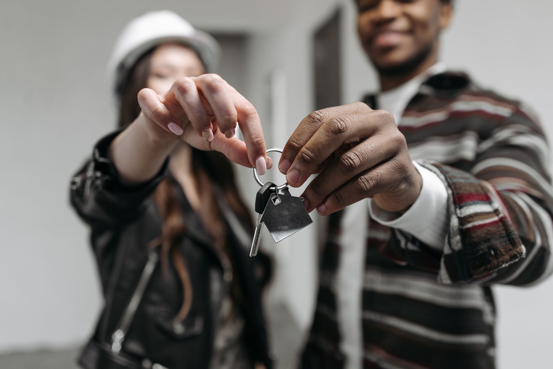
Dholera is designed for a calm, connected, sustainable lifestyle: an IoT-managed smart city where residential, commercial and recreational zones sit close together, powered by solar, with water recycling, wide roads, pedestrian and cycle lanes, and a city command centre in the ABCD building monitoring utilities and safety in real time. That is the master-planned vision the city is being built toward. What exists today is the Activation Area of about 22.5 sq km carrying trunk infrastructure, with the expressway reported operational and the airport under construction. Residential habitation is still early, so the lifestyle is best understood as a planned trajectory rather than a fully populated city.
People researching Dholera as a place to live, not just to invest, deserve an honest picture: what the city is designed to feel like, and what actually exists on the ground today. The two are not the same yet, and it would be dishonest to describe a fully populated residential city when residential habitation is still early. This entry lays out the planned lifestyle vision as a vision, then separates what is genuinely built from what is still to come. Every figure is drawn from verified sources.
Dholera 2047 is an independent intelligence desk. It does not sell plots and does not promote any developer. It exists to help you see the living picture clearly.
What living in Dholera is designed to be
The master-planned vision is a calm, connected and sustainable city. Residential, commercial and recreational zones are laid out close together to cut commute time; the city is designed to run on solar power with energy-efficient green buildings; water is recycled; roads are wide with pedestrian and cycle lanes; and the ABCD building houses a City Integrated Operations Centre, the ICCC, monitoring water, power, lighting, traffic, surveillance and environment in real time. Connectivity is built in, with the expressway reported open, the airport near and a semi-high-speed rail cleared. This is the life the city is being built toward. See the smart-city utilities.
What actually exists today
On the ground, the meaningfully built part is the Activation Area of about 22.5 sq km, which carries real trunk infrastructure: underground power, water with smart meters, piped natural gas, ICT and fibre ducts, a recycled-water network, a water treatment plant of about 50 MLD, and an internal road network of about 72 km with pedestrian and cycle lanes. The ABCD building and its command centre are reported operational. Connectivity has arrived fastest: the 109 km Ahmedabad-Dholera Expressway is reported operational, cutting travel to roughly 40 minutes to an hour, and the airport is under construction. What is not yet here in scale is a populated residential community. See the connectivity overview.
The honest gap: vision versus reality
It is worth stating plainly. The utilities and the command centre are real and built. The lifestyle of a busy, populated smart city, with neighbours, schools, shops and daily street life, is still the vision, not the current reality. Residential habitation is at its beginning, and the region is phased over about 30 years toward 2040 to 2042, an end year stated inconsistently across sources. Anyone planning to live in Dholera should match their expectations to that trajectory rather than to marketing images of a finished city. See the timeline and phases.
What the surroundings offer now
While the city fills in, the surrounding region already offers real places. Ahmedabad, a UNESCO World Heritage City, is about 100 km southwest and now roughly 40 minutes to an hour away via the expressway, giving access to established hospitals, schools, markets and culture. Nearby, Lothal, a 5,000-year-old Harappan port with a dockyard, is about 36 km away and is gaining a large National Maritime Heritage Complex. Emerging local leisure spots around the Activation Area include Maritime Park at Bhimtalav, a river front road and several lakes. See the visit guide and Lothal near Dholera.
Who the living story suits today
Realistically, the day-to-day residential experience in Dholera is early, so the city today suits those tied to its industrial build, and long-horizon buyers picturing a future home rather than an immediate move. If you need a fully serviced residential neighbourhood right now, that is not yet Dholera; if you are imagining living in the city it is designed to become, the plan and the trajectory are what you are buying into. For the end-user view, see Dholera for end users.
| Layer | Status today | Note |
|---|---|---|
| Trunk utilities | Built | Power, water, gas, ICT in the Activation Area |
| Roads and mobility | Built | About 72 km of internal roads with pedestrian and cycle lanes |
| Digital governance | Built | ICCC in the ABCD building, reported operational |
| Connectivity | Largely built | Expressway operational; airport under construction |
| Residential community | Early | Habitation still beginning; residents lean on Ahmedabad |
| Social amenities | Planned / early | Named schools and hospitals in the SIR not reliably sourced |
A balanced way to think about living here
The fair summary is that Dholera has built the bones of a modern city, its utilities, roads, connectivity and digital backbone, ahead of its residents, which is unusual and is the point of the plug-and-play model. The flesh, the people and the everyday life, follows over years. If that sequence appeals to you and your horizon is long, the living vision is coherent and grounded in real infrastructure. If you need a lived-in city now, wait or look at the trajectory before committing. For confidence-building context, see is Dholera safe to invest in.
Frequently asked questions
What will living in Dholera be like?
Can I live in Dholera now?
Is Dholera actually built?
How far is Dholera from Ahmedabad?
What is there to do near Dholera?
Is the smart-city lifestyle real or just marketing?
Dholera 2047. (2026). Life in Dholera: The Planned Lifestyle and What Exists Today. Retrieved 23 July 2026, from https://dholera2047.com/dholera-lifestyle-living.htmlSources & references
- Dholera 2047 Fact Pack, 2026 (Activation Area ~22.5 sq km; underground utilities, ~50 MLD water plant, ~72 km internal roads with pedestrian/cycle lanes, ICCC in ABCD operational; expressway 109 km operational; phased toward 2040 to 2042 as reported)
- Dholera Knowledge Base: lifestyle-livability-tourism (frame living as planned vision; residential habitation still early)
- Dholera 2047 entries: smart-city utilities, connectivity overview, timeline and phases, visit guide, Lothal near Dholera, Dholera for end users
- dholera.gujarat.gov.in (DICDL Activation Area infrastructure)
Dholera 2047 labels facts by confidence. Figures marked reported or target come from press or announcements and may change; verify anything time sensitive against the official source before acting.